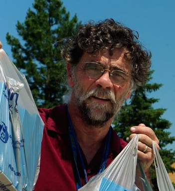
We just completed the 3rd of our 7 Summer Institutes related to GIS- and I had a chance to try out a couple of the Nexus devices, using an Editable Feature Service (EFS) in ArcGIS Collector. It was raining off-and-on throughout the day, but we grabbed 30 minutes in the middle of the afternoon to go outside and collect GIS referenced data- specifically, oil spots on parking spots in the Hopkinton Middle High School (HMHS) parking lot.
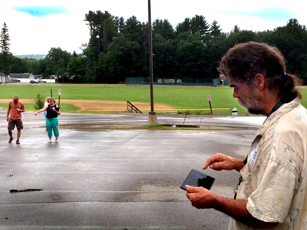
We were successful in logging onto the devices, successful in downloading a basemap of the EFS using the school wifi connections... we were not as successful in collecting the data. Because the oil spots were obscured on the rain-wet asphalt, the 3 of us using the Nexus devices had to more-or-less make up pretend data as we walked along the parking lot.
In addition, the device that I was carrying did NOT have accurate GPS readings, regularly reporting poor GPS reception, and never getting accuracy better than "somewhere in a 66-foot radius". It may have been the drizzle, it may have been the saturated clouds, but Nexus device #1 was never accurate. And both Nexus device 8 and Nexus device 3 (I have numbered them for identification) seemed to get more accurate GPS readings... they both suffered from other connectivity issues. Specifically, both of those devices continuously connected to the building WIFI, or TRIED to connect to the building WIFI, causing the mapping/gathering of data to stop functioning while the WIFI attempted to connect. So some data collection was lost.
Still... we collected data with I-pads, a few smart phones and... 3 Google Nexus 7 devices- here is a map Marcel Duhaime (math teacher from Bow High School) made with that shared EFS data...
Walking around the rain-slick parking lot with these Nexus devices, these slippery, thin, hard-to-hold devices...shielding them from drizzle... comparing them to the expensively-rubber-clad-in-waterproof-cases UNH Cooperative Extension I-pads that others were carrying... made me realize we really need to consider adding some protection to these Nexus devices. I plan on researching to find something within our budget constraints.
Also, I intend to test all 11 devices for accuracy over the coming weekend, when it will be sunny, clear and dry. I packed them all up in a newly acquired hard-shell small suitcase (that will soon be outfitted with foam lining), and will report back on the GPS accuracy testing. With regards to the connect/disconnect to WIFI issue, we decided it can be solved by simply turning off WIFI when "out of the building". An elegant solution! So, some more testing, some more research and some more tweaking is planned for the weekend.
Also, I intend to test all 11 devices for accuracy over the coming weekend, when it will be sunny, clear and dry. I packed them all up in a newly acquired hard-shell small suitcase (that will soon be outfitted with foam lining), and will report back on the GPS accuracy testing. With regards to the connect/disconnect to WIFI issue, we decided it can be solved by simply turning off WIFI when "out of the building". An elegant solution! So, some more testing, some more research and some more tweaking is planned for the weekend.

 RSS Feed