Kathryn Keranen (KK) traveled to New Hampshire (NH) this past weekend, to conduct a workshop on Editable Feature Service (EFS) creation. (Do you understand the title of this blog now?)
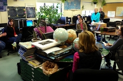
Kathryn’s workshop provided the opportunity for the Cloud Connected Mapping Project team members to learn LOTS more about Editable Feature Services. While previously, we have been able to learn from each other... this gave us an opportunity to learn from the "best". Kathryn is currently the coordinator of the "Geospatial Semester" at James Madison University, and supervises hundreds of teachers throughout the Virginia region, who supervise and teach thousands of high school students in the Virginia region. Kathryn is also an instructor at the Esri's T3G institutes (Teachers Teaching Teachers GIS) at the Esri corporate campus located in Redlands, California. Kathryn knows her stuff. In addition, we were able to invite some other regional "power GIS users" to the workshop, and even more "in addition", we were able to invite some other newer NHEdGIS members, so as to introduce them to the power of ArcGIS Desktop. Hopefully, these new participants will be some of the first "borrowers" of these Google Nexus devices.
Kathryn’s workshop provided the opportunity for the Cloud Connected Mapping Project team members to learn LOTS more about Editable Feature Services. While previously, we have been able to learn from each other... this gave us an opportunity to learn from the "best". Kathryn is currently the coordinator of the "Geospatial Semester" at James Madison University, and supervises hundreds of teachers throughout the Virginia region, who supervise and teach thousands of high school students in the Virginia region. Kathryn is also an instructor at the Esri's T3G institutes (Teachers Teaching Teachers GIS) at the Esri corporate campus located in Redlands, California. Kathryn knows her stuff. In addition, we were able to invite some other regional "power GIS users" to the workshop, and even more "in addition", we were able to invite some other newer NHEdGIS members, so as to introduce them to the power of ArcGIS Desktop. Hopefully, these new participants will be some of the first "borrowers" of these Google Nexus devices.
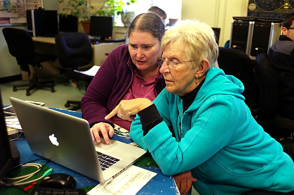
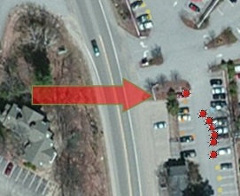
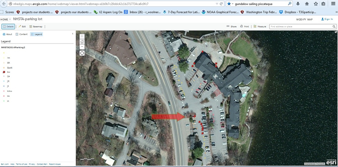
The workshop began with ArcGIS Online,with a basic introduction to data collection using EFS by adding editable points to a “teacher info” map that Kathryn had created. Each of us then built our own individual EFS using ArcGIS Desktop, modeled on KK’s "Wifi Strength" service, which includes both date fields and domains that allow for pull down menus, which greatly simplifies data collection in the field. We then added a graphic rectangle to the desktop project (you could use any shape!) and converted this graphic to a feature layer to designate a work area for students to use, when downloading/installing the maps on the mobile devices. Following that, we used the "Fishnet" tool to grid out the work area, for students to use when out in the field. By labeling the grid with the numbers created through the Fishnet process, and then uploading this to ArcGIS Online as a "Tiled Map Service", and adding this new service to the data collection map (which also contains the EFS), the final complete data collection map, when opened on mobile devices (such as the Nexus devices) is set up so that student teams can be assigned to different specific easily identifiable areas. Cool!
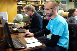
After each of us had successfully uploaded our own newly created fishnetted EFS, we spent some time talking about techniques for sharing empty EFS using the service definition files. KK generously made all her service definition files temporarily publicly accessible, and we found we could search ArcGIS Online for them and download copies of them, and then upload them to our own organization, therefore getting a blank copy of the EFS, ready to go and collect data. This seemed to work very well, and also offers real promise for allowing us to create "generic" EFS to share with teachers who do not have the necessary skills (yet) to create their own EFS.
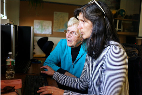
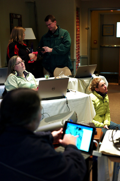
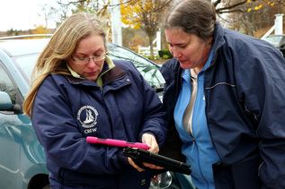
The workshop concluded with each participant working on individual projects as desired, with Kathryn available to assist with troubleshooting and answer questions. Some participants created another editable feature service for their specific curriculum, some played with the Collector app on the Nexus devices, while others focused on using the analysis capabilities of ArcGIS Online to analyze data collected using an EFS.
And we filmed it! Four 30-ish minute videos are now available below! .
All in all... this was a highly successful workshop for team members and we are hoping to bring Kathryn back next summer as part of the NHEdGIS 2015 summer institute series.
And we filmed it! Four 30-ish minute videos are now available below! .
All in all... this was a highly successful workshop for team members and we are hoping to bring Kathryn back next summer as part of the NHEdGIS 2015 summer institute series.

 RSS Feed