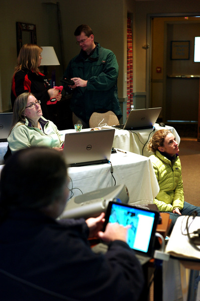
Over this past weekend... I helped Ina Ahern present a workshop for the New Hampshire Science Teachers Association (NHSTA )in Meredith New Hampshire, held at the Church's Landing Inn on the shores of Lake Winnipesaukee. It was a bitingly cold day, with gusty wind to make it seem even colder.
In this particular workshop, we wanted to collect local data using an Editable Feature Service on local hand-held devices (Ipad Minis and the Google Nexus), and then, using that same feature service, on the return indoors, on laptops... gather some data of parking lot behavior in other pre-selected parts of the world.
The 12 NHEdGIS-owned Google Nexus devices all had received fresh “updates” to their operating systems, so they were current as could be. In that previous week, I also had deleted (from all devices) the Esri Collector app that had been installed in June, before our Summer GIS Institutes. As previously mentioned, we sort-of felt that the accuracy of those Google Nexus devices seemed ...suspect. Before this workshop, I wanted to test the newest-latest-greatest most-up-to-date version of Collector, to see if accuracy seemed better.
And so... early in the morning, before the session began... I planned to gather some points carefully and slowly, paying attention to the collected points' accuracy.
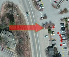
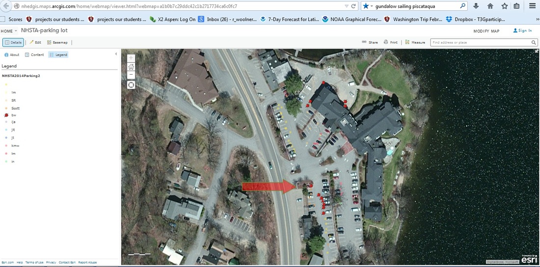
I loaded the editable feature service map (created by Ina Ahern) to gather data points regarding the parking orientation of cars in parking lots in Meredith, New Hampshire. I turned off Wifi, and walked outside... to my own car, that I had parked near the entrance to the lot. Standing just 2-3 feet from the front bumper, I noticed that the floating blue blob was... accurate... (actually, very accurate) as I entered that first data-point of information on that 1994 white Volvo, that had been backed expertly, perfectly aligned, into the parking spot. (Did I mention it was my car?) Then I started walking south, approximately 2-3 feet from the rear (or front) bumpers of several cars, gathering data points, and entering data, and did NOT correct on the hand-held map, relying on the GPS signal that was being received by the Nexus. I noticed that as I walked south along that line of cars... the floating blue blob... drifted... slightly east, more towards the middle of the parking aisle. Still … within a car's length of the actual location.

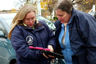
Later in the workshop, we went outside again, this time with other participants, and while they gathered data on Ipads and Google Nexus, I took photographs of them. And also took a few more points of my own. Again, I did not correct for location, and just allowed the floating blue dot to be placed … where it wanted to be placed. Only 1 of these collected dots seemed to be in the correct location. Interestingly enough... again... it was the first point collected. Hmmmm.... Again, all subsequent points were... shifted slightly south, or southeast.
I mentioned this odd “drift of accuracy” on the T3G listserv, and received some speculation, but still do not have an answer. I plant to again test the accuracy of these devices with my small advisory group next week, back here at Hopkinton Middle High School.
More later.
More later.


 RSS Feed
