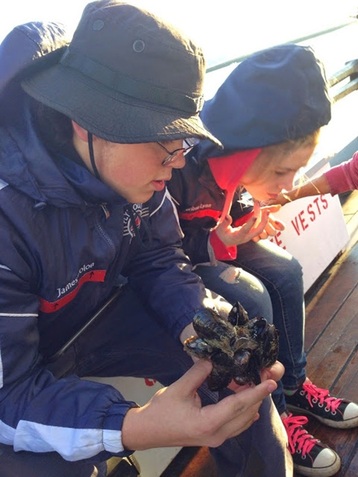
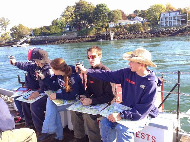
October 6 2014- Students from the Plymouth Regional High School Environmental Science class spent the day with the Nexus devices, first working on invasive species at Odiorne Point State Park, and then sailing aboard the gundalow Piscataqua on a tour of Portsmouth Harbor. During the gundalow sail students documented their experiences and learning with geo-located photographs taken with borrowed UNH Cooperative Extension iPads and the Google Nexus devices purchased through the NHSTE Chris Nelson Memorial Grant. Many mobile devices owned by schools (such as PRHS) are “wi-fi only” devices that lack a GPS chip and therefore do not know where they are when they take a photograph unless actually connected to a network. On land, sometimes this can be compensated for by the use of a detailed aerial photograph to locate the image site, but that doesn’t work so well on open water! Hence, the critical need for these borrowable gps-enabled devices. Students will be assembling these images into an Esri Map Tour Storymap to document their activities that day. (Links will be posted to the blog when these student projects are finished.) In the meantime, here’s a few images taken that day.
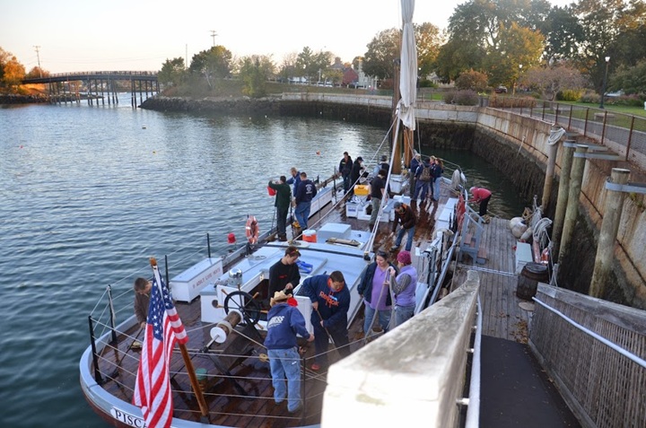
Upon return to the dock, students were able to assist in swabbing down the deck with salt water, an important task to help preserve the wooden gundalow. Perhaps on our return to school, we could look at the cafeteria... (Photo courtesy of Lena MacLean)
 RSS Feed