
GeoPriSM

|
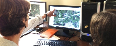
What is GeoPriSM?
Learn how GeoPriSM plans to help NH teachers use geospatial technologies in the classroom. |
|
Benefits of GeoPriSM
Teachers receive free software, training and support, and stipends for time spent on GeoPriSM activities. |
|
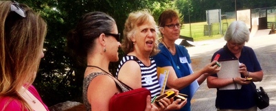
Participating in GeoPriSM
Requirements of participating in GeoPriSM include professional development, conducting assessments and completing a Community Atlas project. |
|
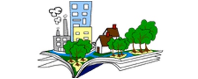
Community Atlas Projects
Community Atlas projects provide students with an opportunity to explore an issue and/or tell a story about their community with maps. Use the Rubric we developed to instruct and evaluate individual work and/or complete projects. Community Atlas Projects 2015 & 2016 & 2017 |
|
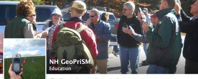
Keep things social
Stay up-to-date with the GeoPriSM on Facebook and Twitter |