
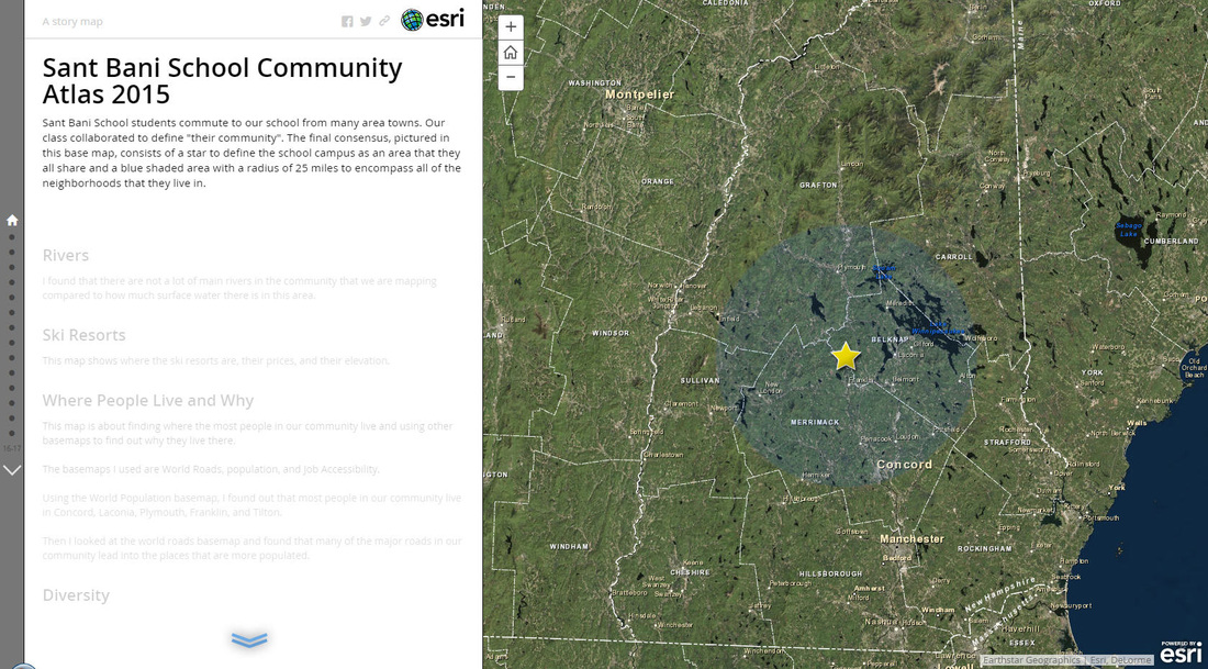
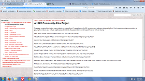
Community Atlas Projects
2017
Fairgrounds Middle School
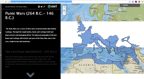
Gallery of Roman Empire Projects
http://fairms.maps.arcgis.com/apps/MapAndAppGallery/index.html?appid=93dcd182dbcd46e7a0dc25fe75658c9b
Gallery of Roman Empire Projects
http://fairms.maps.arcgis.com/apps/MapAndAppGallery/index.html?appid=93dcd182dbcd46e7a0dc25fe75658c9b
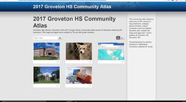
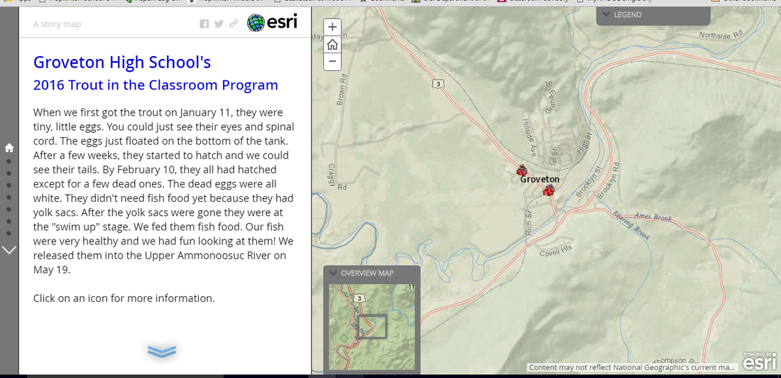
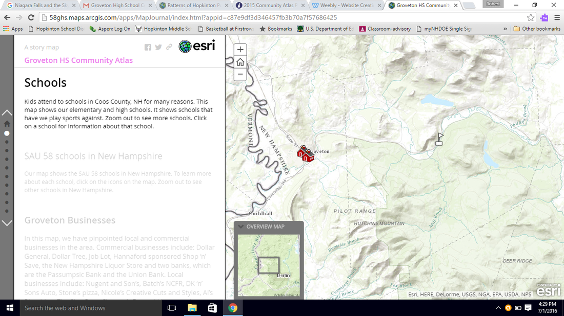
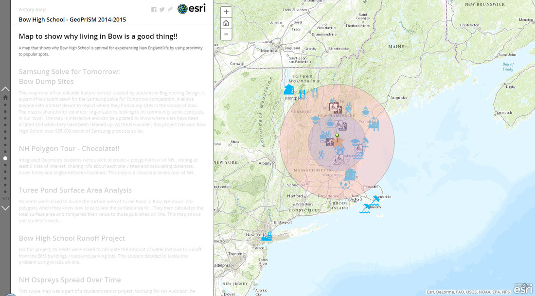
Groveton High School
Community Atlas Project
https://58ghs.maps.arcgis.com/apps/PublicGallery/index.html?appid=728010225d974f7da061212c3db156d7
Community Atlas Project
https://58ghs.maps.arcgis.com/apps/PublicGallery/index.html?appid=728010225d974f7da061212c3db156d7
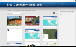
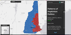
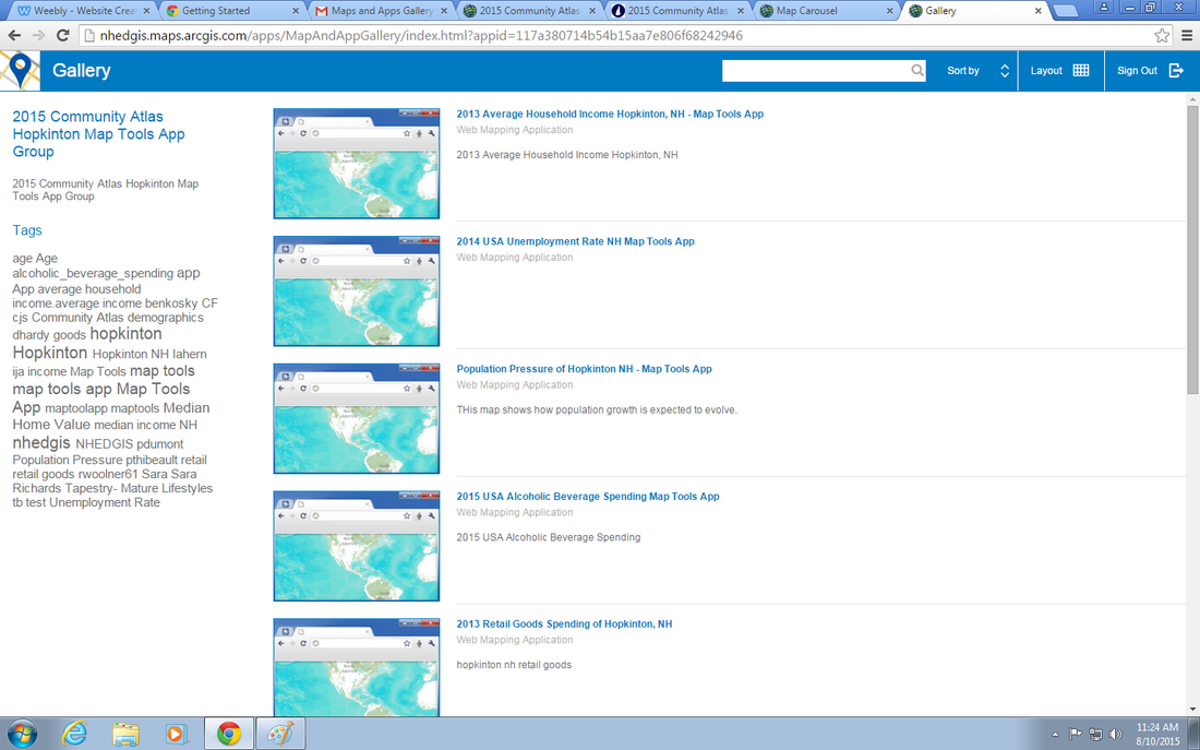
Hopkinton Middle High School
Blue Group
hmhs.maps.arcgis.com/apps/PublicGallery/index.html?appid=c9ba160ea3e245adb3f256e1d8defeb3
Blue Group
hmhs.maps.arcgis.com/apps/PublicGallery/index.html?appid=c9ba160ea3e245adb3f256e1d8defeb3
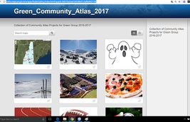
Hopkinton Middle High School
Green Group
hmhs.maps.arcgis.com/apps/PublicGallery/index.html?appid=06b7faa5aa2345268d1c3af8e94511f9
Green Group
hmhs.maps.arcgis.com/apps/PublicGallery/index.html?appid=06b7faa5aa2345268d1c3af8e94511f9
Hopkinton Middle High School
Yellow Group
http://hmhs.maps.arcgis.com/apps/PublicGallery/index.html?appid=5050c1449f124183b2742ca3f576d60f
Yellow Group
http://hmhs.maps.arcgis.com/apps/PublicGallery/index.html?appid=5050c1449f124183b2742ca3f576d60f
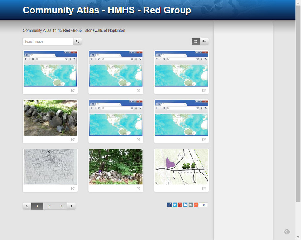
Hopkinton Middle High School
Red Group
http://hmhs.maps.arcgis.com/apps/PublicGallery/index.html?appid=a130ed5b99744829bf0c83f2c679eeb4
Red Group
http://hmhs.maps.arcgis.com/apps/PublicGallery/index.html?appid=a130ed5b99744829bf0c83f2c679eeb4
Surry Village Charter School
https://svcs.maps.arcgis.com/apps/MapAndAppGallery/index.html?appid=4f6deca0cfa145f3a8192ae477b90868
https://svcs.maps.arcgis.com/apps/MapAndAppGallery/index.html?appid=4f6deca0cfa145f3a8192ae477b90868
2016
|
Groveton High School (middle school students' Trout Atlas)
http://nhwep.maps.arcgis.com/home/item.html?id=23af40f847514080a035cc66934463c3 |
|
Groveton High School (middle school students' Community Atas)
http://arcg.is/28ZlWIk |
|
Hopkinton Middle High School (Green Group 5)
http://hmhs.maps.arcgis.com/apps/MapJournal/index.html?appid=6501a42cac8a45b48b6396bfd39e9f94 |
|
|
Plymouth Regional High School
http:// |
2015
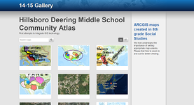
Hillsboro-Deering Middle School
https://hillcat.maps.arcgis.com/apps/PublicGallery/index.html?appid=e2fb46d04eb54de69c6eb037ec29514f
https://hillcat.maps.arcgis.com/apps/PublicGallery/index.html?appid=e2fb46d04eb54de69c6eb037ec29514f
|
|
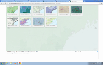
2015 Summer Community Atlas Workshop WebApps "Maps and Apps" Gallery (these webapps allow "Premium Content" to display easily!)
|