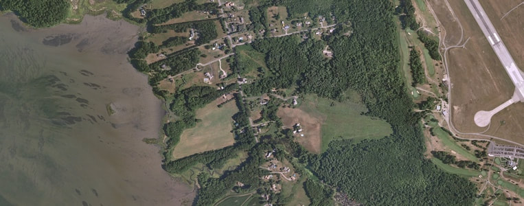
Geospatial Imagery - From Eyes in the Sky
Satellite and aerial imagery has tremendous power for visualization and analysis. Work with ImageJ and ArcGIS to help students understand the data behind the pixels.
This workshop is part of the 2018 Summer Spatial Institute
Date and location:
August 6-9, 2018, 8:30am to 4:30pm
Hopkinton Middle High School, Contoocook, NH
Summary: The “blue marble” image of the Earth shot from Apollo 17 has become an iconic representation of our planet. The first thing that every student wants to do when using ArcGIS Online or another visualization program is look at aerial imagery of their own home.
But imagery can be so much more! Using today’s satellites or “Eyes in the Sky” combined with geospatial technology we can see not only the visible earth but also create visible representations of “invisible” data such as sea surface temperature and plant health.
In this workshop we’ll introduce you to remote sensing and the incredible array of remotely sensed data that is available. We’ll then explore several of these data sets, using ArcGIS Online and ImageJ. Lesson resources for this workshop will include the Instructional Guide to the ArcGIS Imagery Book, the Eyes in the Sky II web course and the Earth Exploration Toolbook.
You will have the opportunity to earn:
Links for this workshop:
Register for the course:
August 6-9, in Contoocook, NH | Register
Register soon. Available seating is limited, due to funding.
Funding provided by NH DOE and the US DOE’s Mathematics and Science Partnerships (MSP) program through GeoPriSM II
Note: Due to limitations of the grant funding supporting this workshop, ONLY TEACHERS and SCHOOL PERSONNEL are eligible for stipends. If you are not an educator and interested in these topics, consider taking a UNH Cooperative Extension workshop on ArcGIS Online, Story Maps , or Mobile Mapping with Survey123.
August 6-9, 2018, 8:30am to 4:30pm
Hopkinton Middle High School, Contoocook, NH
Summary: The “blue marble” image of the Earth shot from Apollo 17 has become an iconic representation of our planet. The first thing that every student wants to do when using ArcGIS Online or another visualization program is look at aerial imagery of their own home.
But imagery can be so much more! Using today’s satellites or “Eyes in the Sky” combined with geospatial technology we can see not only the visible earth but also create visible representations of “invisible” data such as sea surface temperature and plant health.
In this workshop we’ll introduce you to remote sensing and the incredible array of remotely sensed data that is available. We’ll then explore several of these data sets, using ArcGIS Online and ImageJ. Lesson resources for this workshop will include the Instructional Guide to the ArcGIS Imagery Book, the Eyes in the Sky II web course and the Earth Exploration Toolbook.
You will have the opportunity to earn:
- Stipend from the GeoPRiSM II MSP project
Links for this workshop:
Register for the course:
August 6-9, in Contoocook, NH | Register
Register soon. Available seating is limited, due to funding.
Funding provided by NH DOE and the US DOE’s Mathematics and Science Partnerships (MSP) program through GeoPriSM II
Note: Due to limitations of the grant funding supporting this workshop, ONLY TEACHERS and SCHOOL PERSONNEL are eligible for stipends. If you are not an educator and interested in these topics, consider taking a UNH Cooperative Extension workshop on ArcGIS Online, Story Maps , or Mobile Mapping with Survey123.

