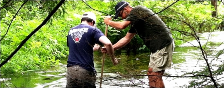
Watershed Ecology Institute shows NH teachers how to use mapping while exploring the Lake Sunapee watershed
This workshop is part of the 2017 Summer Spatial Institute
Come and join the NH Fish and Game Watershed Education Program, The Fells, and the Lake Sunapee Protective Association in exploring the aquatic wonders of the Lake Sunapee watershed.
Date and location:
July 17-20, 2017, 8:30am to 4:30pm
Instruction at Colby-Sawyer College, New London, NH
Field trips to The Fells and Lake Sunapee
In this workshop, you will have a chance to:
You will have the opportunity to earn:
Register for the course:
SIGN UP NOW ONLINE using event passcode WEI2017 (for instructions click here)
Date and location:
July 17-20, 2017, 8:30am to 4:30pm
Instruction at Colby-Sawyer College, New London, NH
Field trips to The Fells and Lake Sunapee
In this workshop, you will have a chance to:
- Sample water quality in Lake Sunapee from a pontoon boat
- Perform a shoreline assessment to evaluate human impacts
- Collect water quality and macroinvertebrate data from a local stream
- Study fish populations by electro-fishing with biologists
- Take scientific protocols back to your classroom to study your own watershed
- Visit a quaking bog at Esther Currier Wildlife Management Area
- Learn how to use ArcGIS Online (AGO) technology in your classroom
- To post, share and analyze the data you collect
- To design your own Story Map to share your adventures
- Learn AGO from other classroom teachers and natural resource & GIS specialists (NHEdGIS team)
You will have the opportunity to earn:
- $400 stipend from the GeoPRiSM MSP project
- Graduate credits from Keene State College
Register for the course:
SIGN UP NOW ONLINE using event passcode WEI2017 (for instructions click here)

