Geoinquiries 101
This workshop is part of the 2017 Summer Spatial Institute
Come learn how to quickly incorporate GIS and spatial thinking into your curriculum using short lessons and the geoinquiry process. No experience necessary!
Date and location:
August 1, 2017, 8:30am to 4:30pm
Hopkinton Middle High School, Contoocook, NH
Summary:
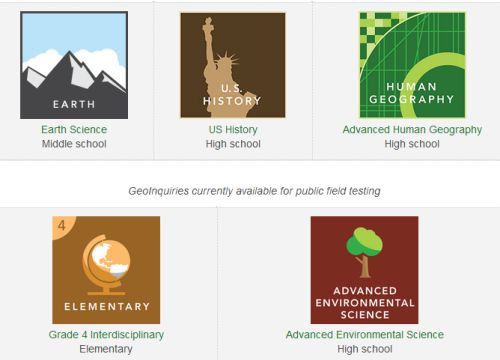
GeoInquiries are short, standards-based inquiry activities for teaching map-based concepts found in commonly used textbooks. Using an inquiry instructional model, GeoInquiries integrate ArcGIS Online technology to support subject matter content teaching. Lessons include learning objectives, technical “how-to’s”, textbook references, and formative whole-class assessment items – all packed into one page. These activities are technology agnostic and can be delivered in a classroom with as little as a tablet and a projector. Any teacher can use a GeoInquiry, regardless of their prior experience with digital mapping tools. No experience necessary!
In this workshop, we will cover:
- geoinquiry process
- using geoinquiries in your classroom
- creating geoinquiries
- going beyond the geoinquiry
Documents for this workshop:
drive.google.com/drive/folders/0B-stOaPJKLVcZ1Q3VGRZcVk0QXc?usp=sharing
Esri GeoInquiries http://education.maps.arcgis.com/home/group.html?id=39505ed571d646c8b66ecccadbc386e4#overview
You will have the opportunity to earn:
- $150 stipend from the GeoPRiSM MSP project
- Graduate credits from Keene State College
Register for the course:
August 1, 2017 in Hopkinton, NH | Register
Note: this is a teacher-only workshop
Due to limitations of the grant funding supporting this workshop, ONLY TEACHERS are allowed to attend.

